01 / Baseline
Start with a clear record.
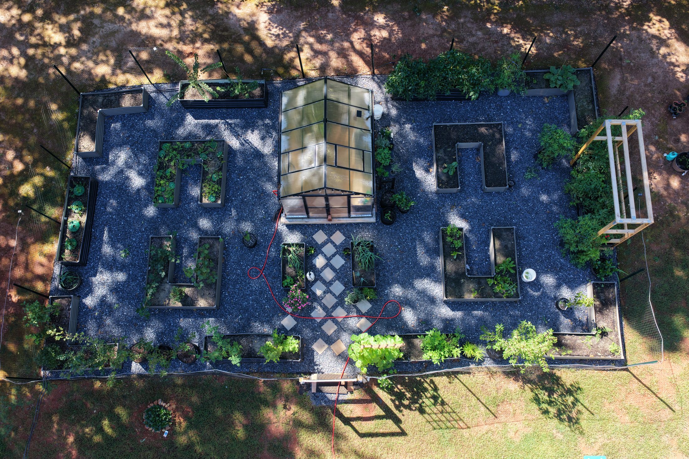
Document agreed areas and viewpoints at the first visit.
A clearer perspective on your property, your project and what comes next. Aerial imaging for real estate, construction, roofs and rural land.
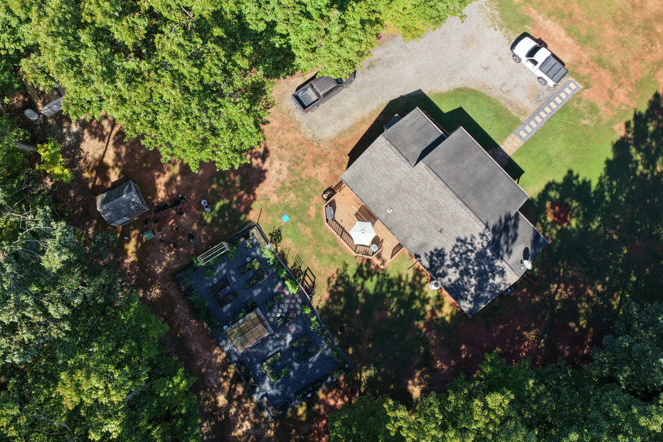
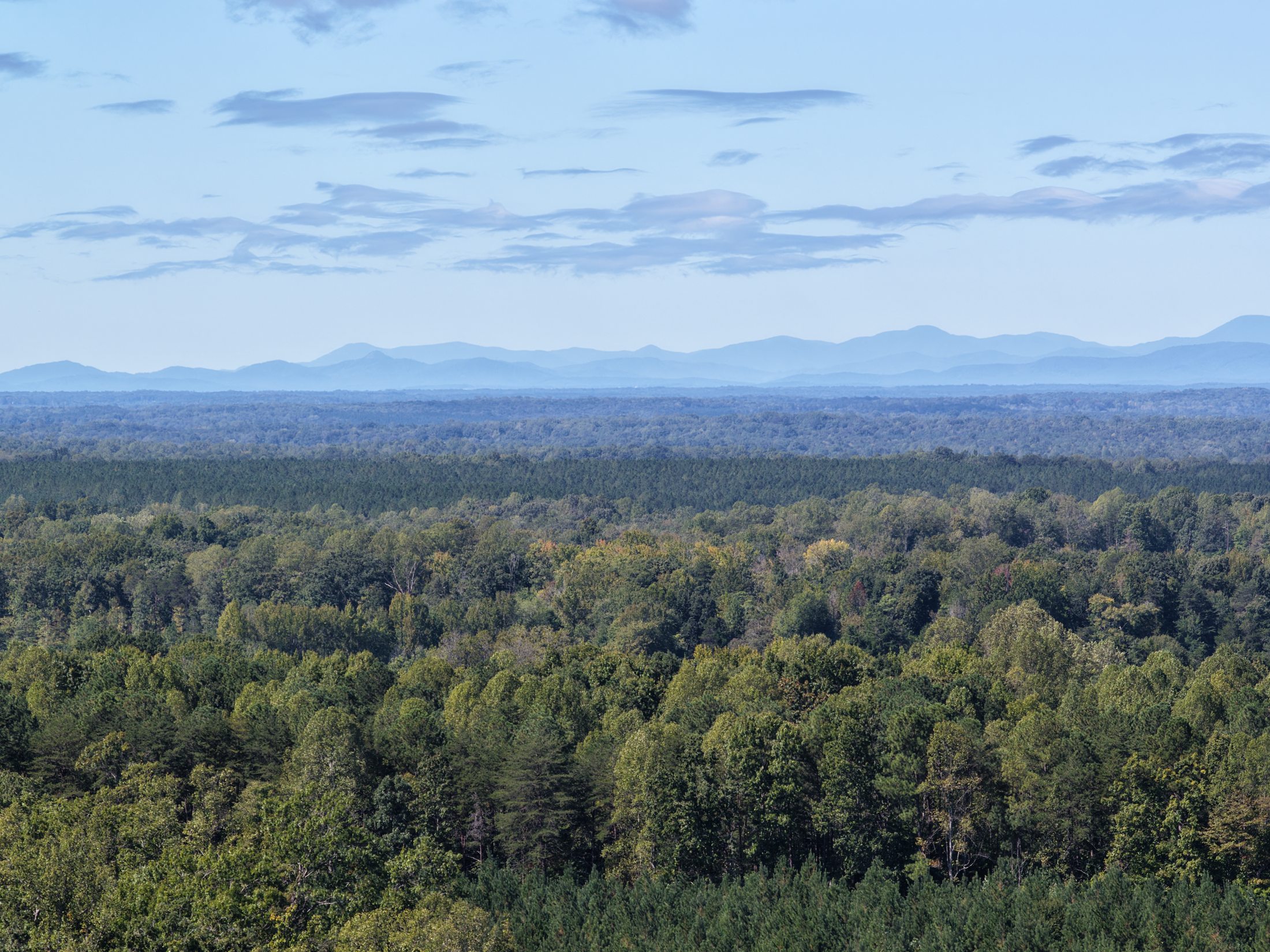
Show the property, its setting and the bigger picture with aerial photography and video.
Keep owners and project teams informed with scheduled aerial updates.
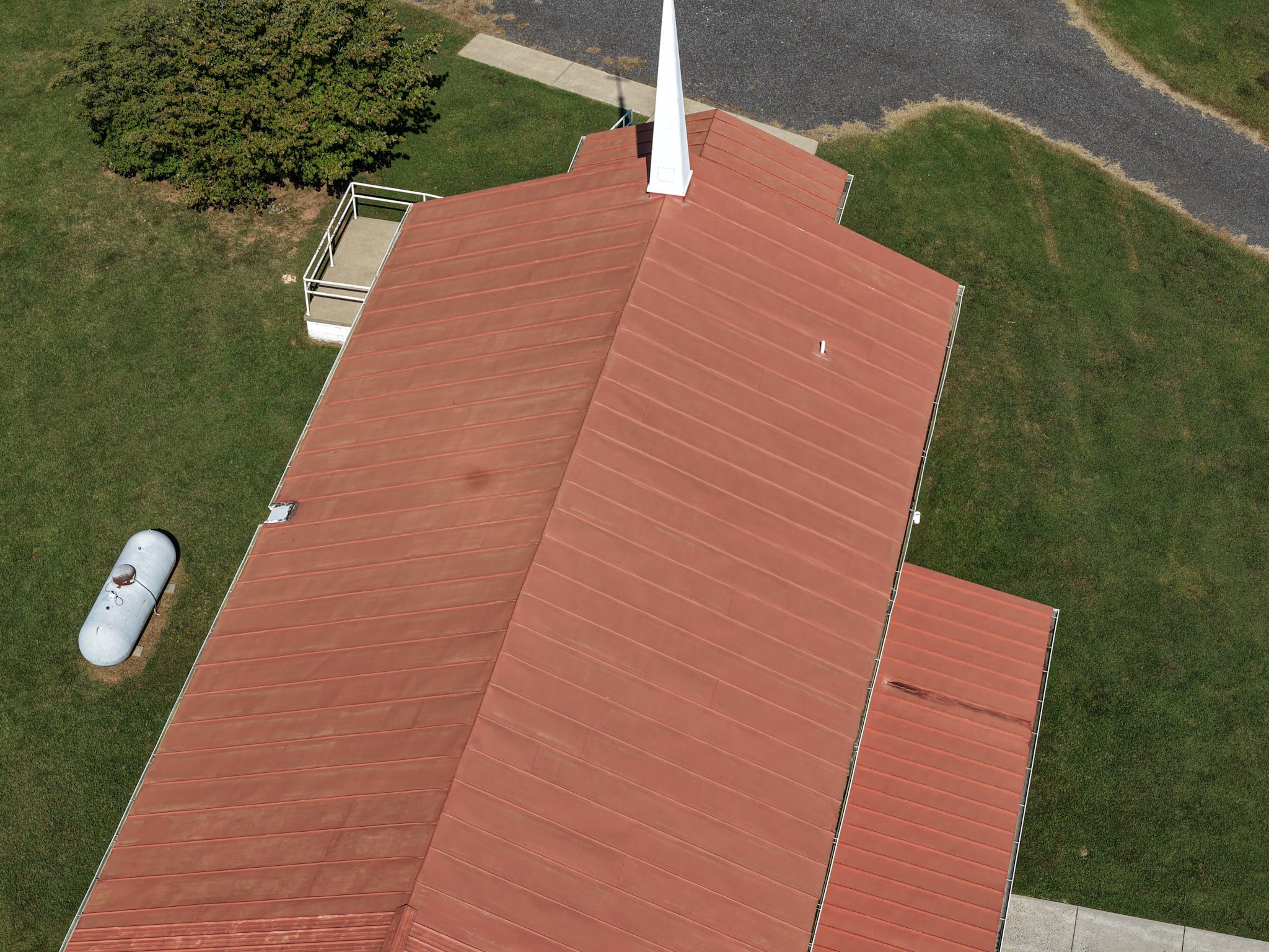
See roof surfaces and hard-to-reach exteriors through detailed visual records.
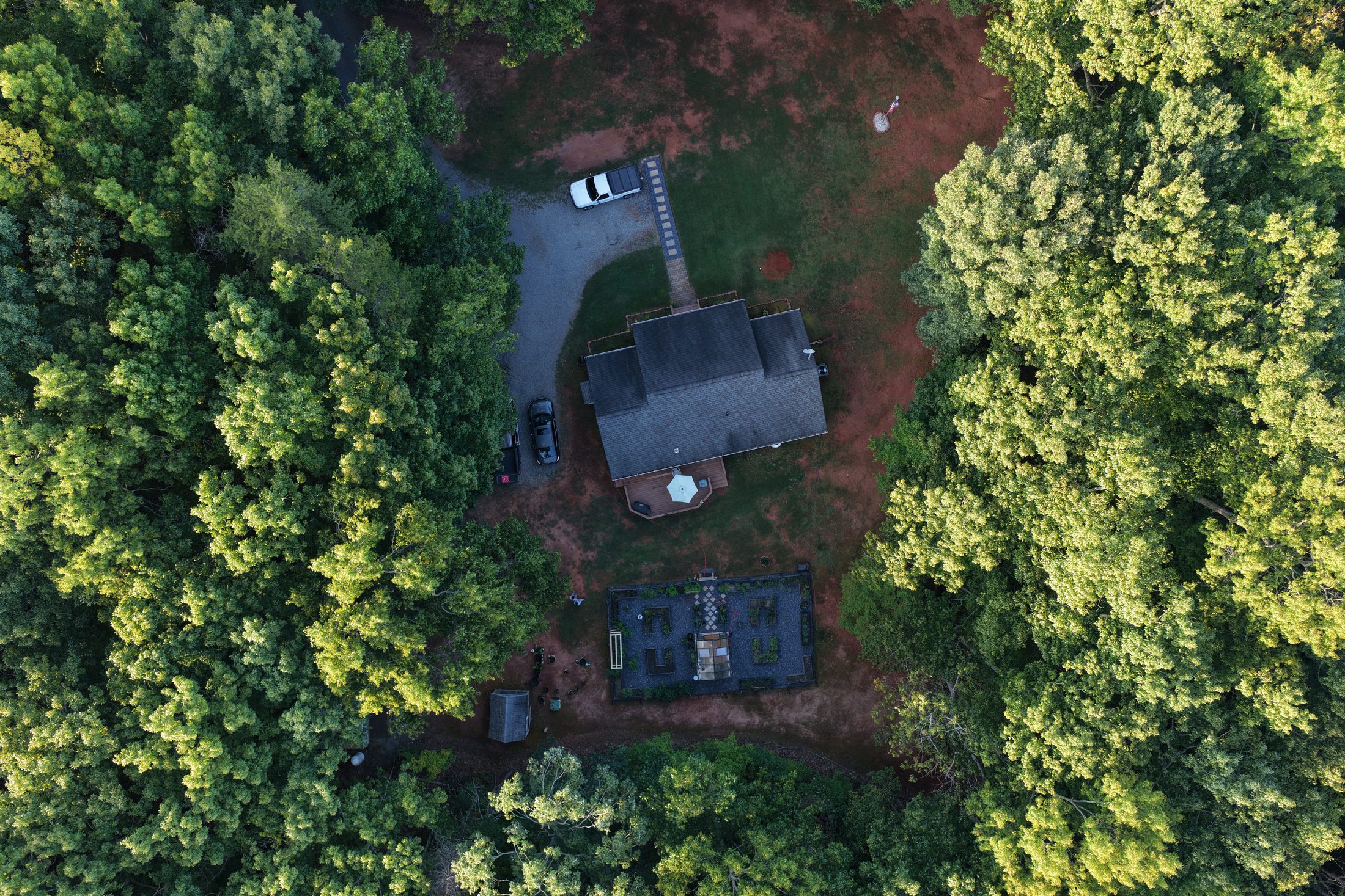
Establish a baseline. Return on a schedule. See what changes.
RidgeVector AssetGuard helps document outdoor equipment and materials with baseline and repeat aerial imagery.
Livestock & pasture monitoring · Agriculture & rural land · Storm damage documentation · Drainage & erosion observation
Explore additional solutions →Baseline documentation and recurring aerial visits give property owners and project teams a useful history of visible conditions.
Explore Asset MonitoringDocument agreed areas and viewpoints at the first visit.
Monthly, quarterly or custom visits suited to your property.
Organized imagery and visual comparisons for your review.
We aim to make aerial documentation straightforward, organized and useful—before, during and after each project.
Defined coverage, practical flight planning and deliverables tailored to what you need to understand.
Thoughtful imagery, agreed viewpoints and the option to compare conditions across visits.
Organized files and optional annotated visual summaries that make sharing and reviewing easier.
Founded in Central Virginia and built around a family-owned approach, RidgeVector focuses on understanding each client’s objective, planning each flight and delivering useful visual results.
Meet RidgeVector →