Core services
Five ways RidgeVector helps you see more.
Real Estate Photography
Help buyers understand the whole property.
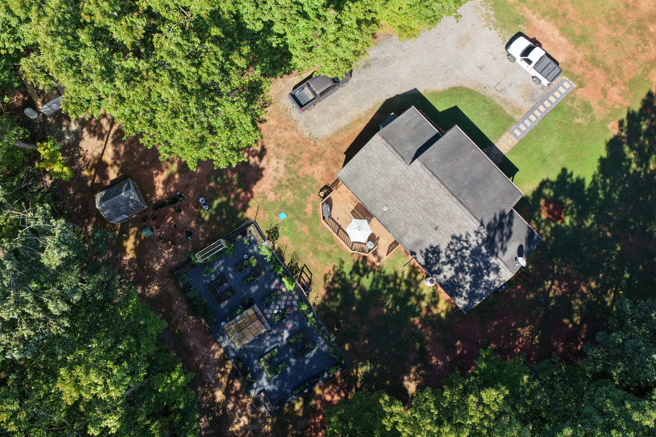
Aerial photographs and video show buildings, outdoor spaces, access and surrounding context for residential, commercial and rural listings.
Discuss your listing, delivery format and intended marketing use.
Construction Progress
Keep the project in view.
Capture site conditions before work begins, record progress at agreed milestones and document completion for owners, contractors and stakeholders.
Schedule one visit or connect your project to recurring Asset Monitoring.
Roof & Property Visual Inspections
See the details that are difficult to reach.
Photographic documentation of roof surfaces, gutters, flashing, façades and other visible exterior features supports maintenance planning and review by your contractor.
Coverage depends on safe access, visibility, weather and flight conditions.
RidgeVector Asset Monitoring
A record that grows with your property.
Pair an initial baseline with recurring visits and visual comparison reports.
See Monitoring OptionsOutdoor Inventory & Loss Documentation
RidgeVector AssetGuard
For contractor equipment yards, material storage areas and other outdoor commercial sites, we create an initial aerial visual baseline and offer scheduled return visits from comparable viewpoints. Organized photographs can help your team review visible changes, moved equipment and potential inventory discrepancies.
Designed to support—not replace—your internal inventory counts and security procedures. We do not provide continuous surveillance, guaranteed theft prevention, precise item-level counting or proof of loss.
Ask about a baseline visit →Additional aerial solutions
More solutions for real-world needs.
Targeted aerial documentation for landowners, farms and commercial properties.
Calving Season & Pasture Monitoring
RidgeVector Livestock & Pasture Watch
Daylight aerial observation can assist with locating visible cows or newborn calves in open pasture and documenting cattle locations, fencing, gates, water points and noticeable pasture conditions. Options include targeted visits during calving season and periodic pasture overview flights.
Visible-light cameras cannot reliably find animals concealed by vegetation or terrain. Aerial checks do not replace hands-on livestock monitoring or veterinary care. Flight plans prioritize animal welfare and safe distances; results cannot be guaranteed.
Discuss pasture coverage →Agriculture & Rural Land
More context across more ground.
Visual documentation for farms, pasture, vineyards, timber tracts, access roads and rural properties. Record visible conditions and changes through the seasons.
Explore the dedicated Agriculture & Rural Land page for more detail.
After-Weather Documentation
Capture what a storm left behind.
Record safely visible roof, exterior, tree, fencing and site conditions following severe weather. Dated imagery may assist discussions with contractors or insurers; it is not a damage determination or insurance adjustment.
Drainage & Erosion Observation
See where conditions are changing.
Visual records of ponding, apparent runoff routes, exposed ground and erosion features. When feasible, repeat comparable viewpoints after rainfall or seasonal changes. This is not hydrological analysis or an engineered drainage assessment.
Visual aerial documentation only. Services do not constitute engineering, structural analysis, surveying, code inspection, insurance adjusting, appraisal or roofing diagnosis. Imagery supports review by the appropriate qualified professional.